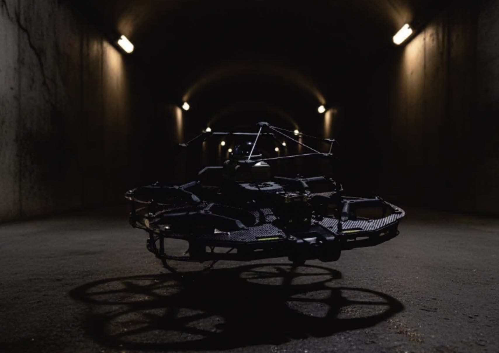
Risk to people
Confined-space entry means permits, safety gear and standby teams, in spaces that are dark, dusty and sometimes structurally unstable.
Underground mines. Tunnels. Boilers. Tanks. The most dangerous places to inspect are exactly where ordinary drones fail.
Confined-space entry means permits, safety gear and standby teams, in spaces that are dark, dusty and sometimes structurally unstable.
Inspecting a boiler or tank often means shutting the facility down and building scaffolding. The stoppage costs more than the inspection.
Commercial drones lose their position indoors, drift out of control and hit walls with exposed propellers. Skyline was built for exactly this.
Designed for confined spaces
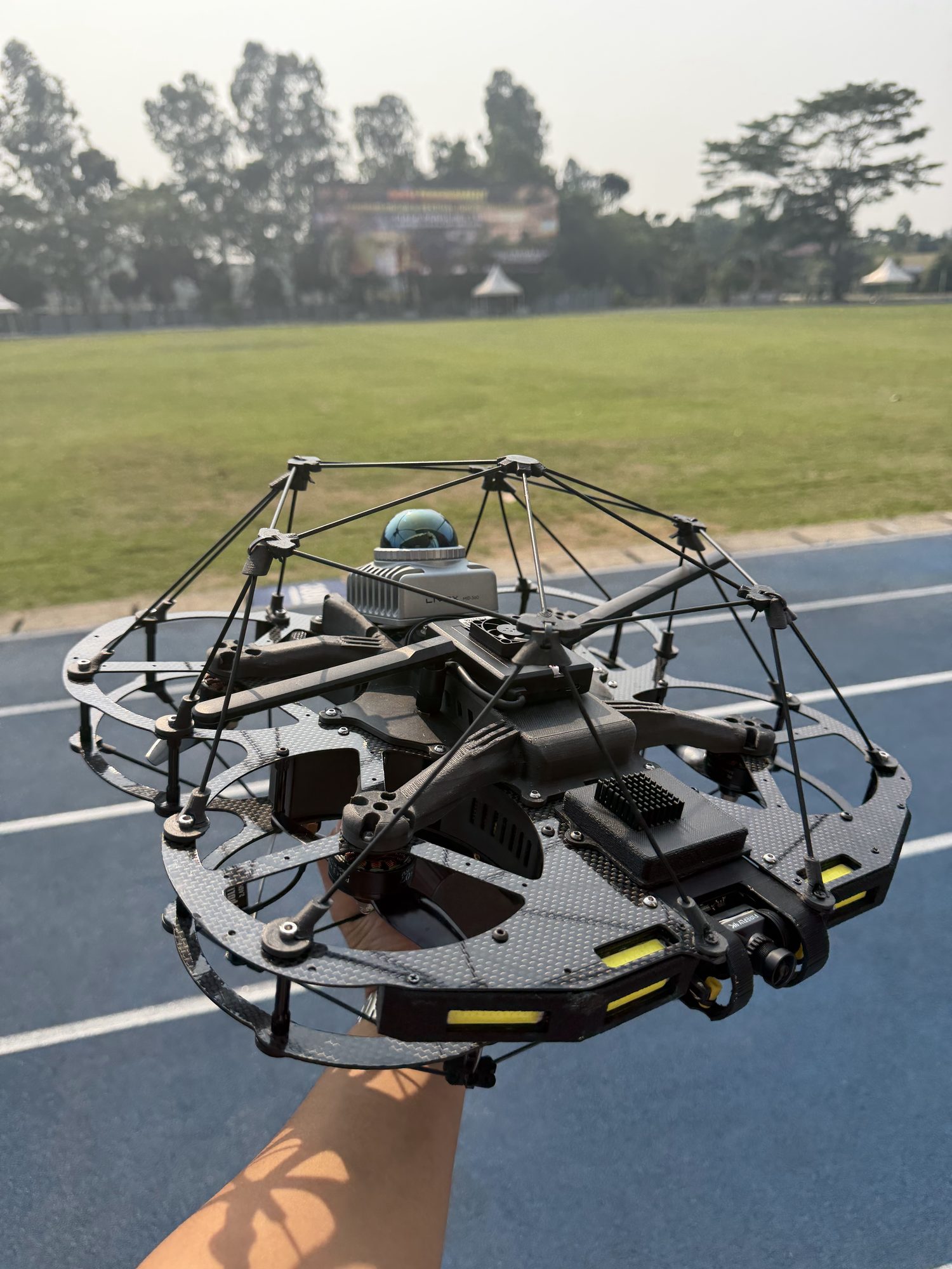
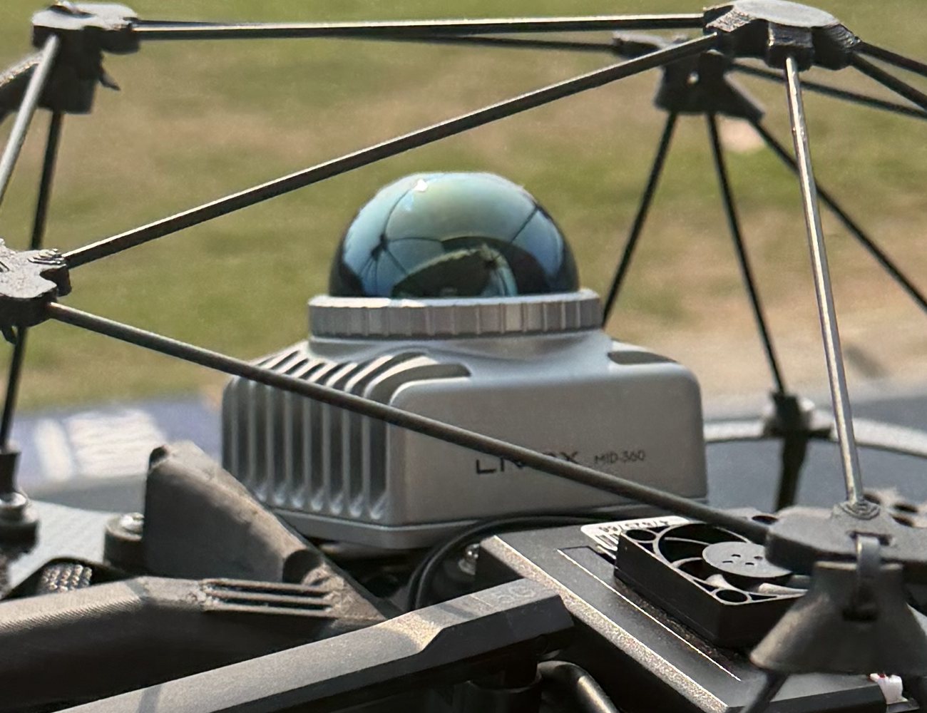
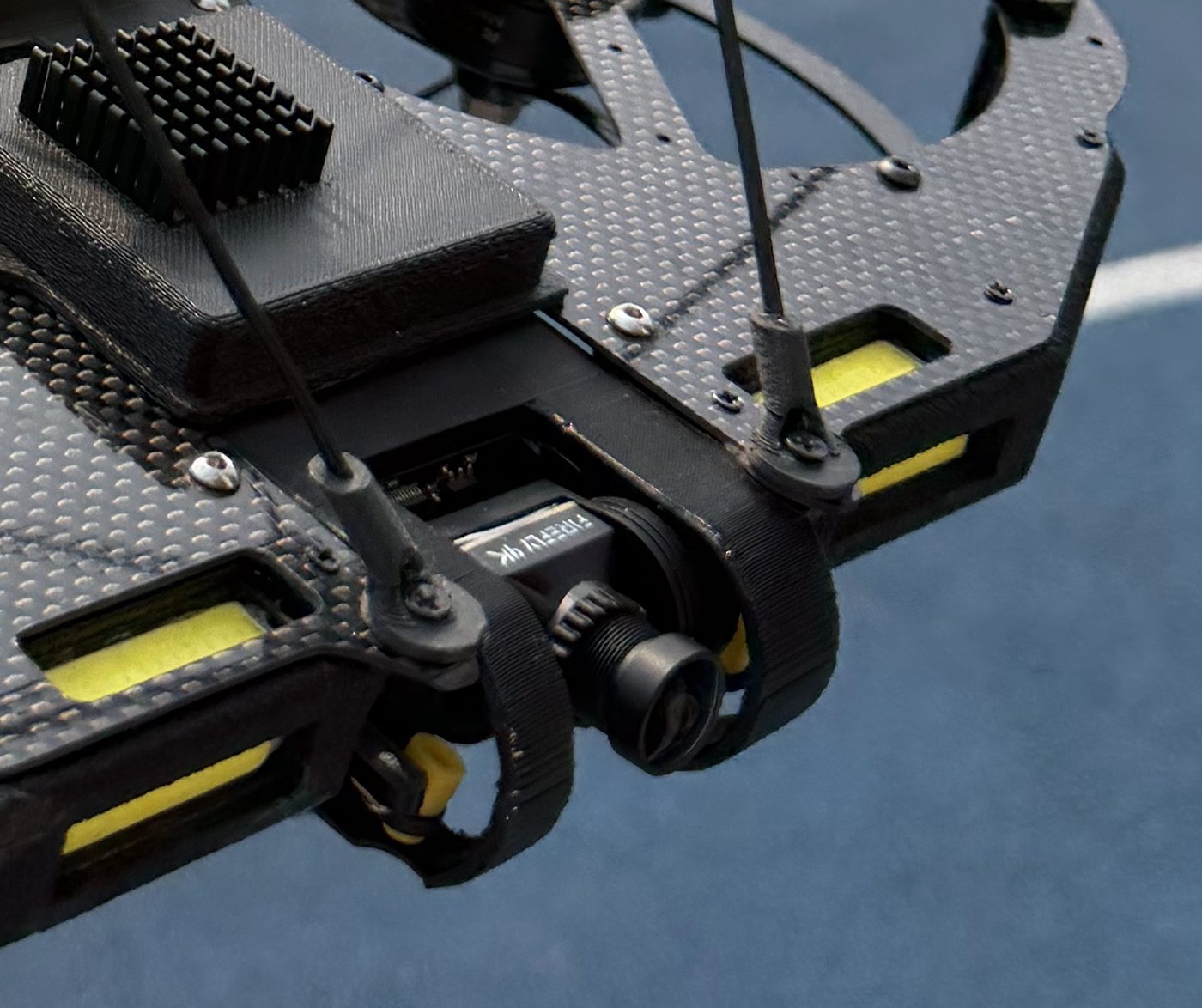
LiDAR-Inertial SLAM fuses 360° laser scans, precise to within 2 cm, with the IMU to hold position without GPS, even underground.
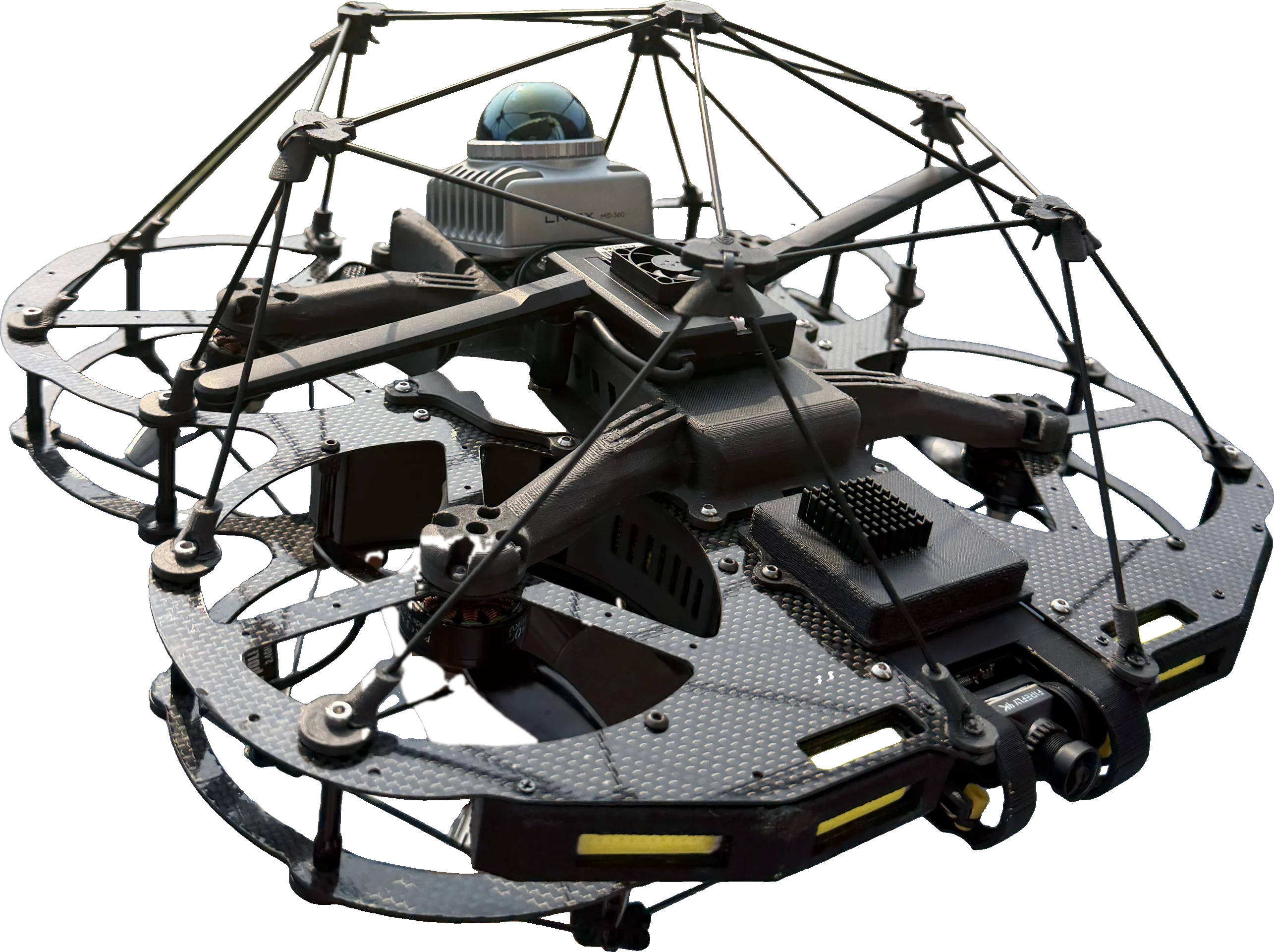
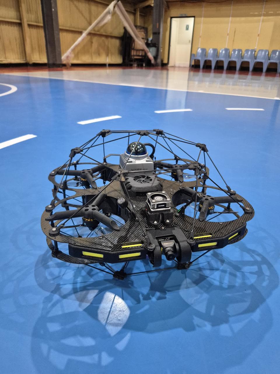
A cage-ball frame of carbon fibre surrounds the drone. It can touch walls without falling, and is safe near the operator.
4K inspection video plus a 3D point cloud you can use to measure distance, volume and structural change.
Interactive 3D
Rotate the L-490, switch between front, side and top views, and see where each sensor sits. Turn the propellers and hover motion on or off.
The 3D model is an illustration based on the L-490 design.
One flight
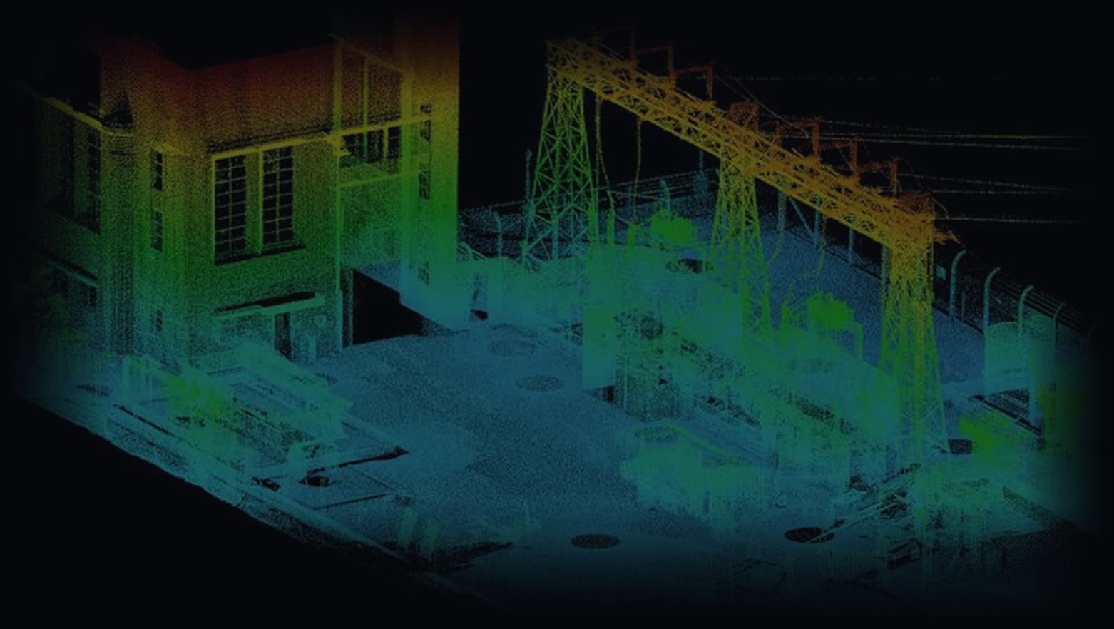
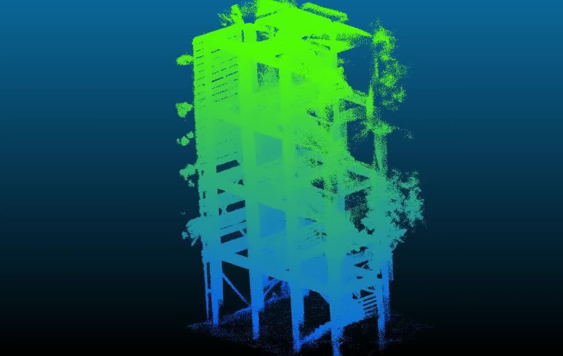
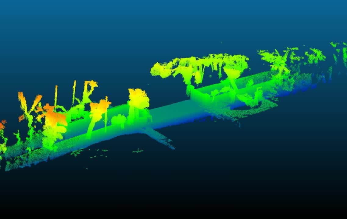
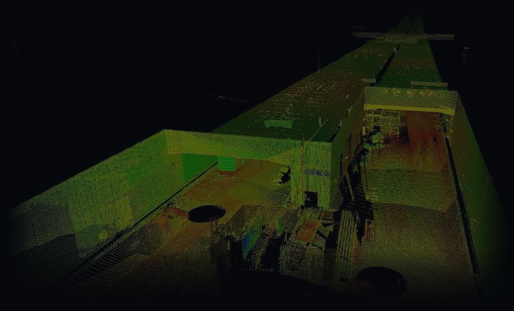
Under a dense forest canopy, inside a culvert or across a factory floor, Skyline scans as it flies and hands you a full point cloud when it lands.
Technology
An onboard NVIDIA Jetson Orin runs SLAM on LiDAR and IMU data, then sends a position estimate to the flight controller, which fuses it with its own IMU data to fly without GPS. Video, the growing map and telemetry stream to the operator over a 2.4 GHz link.
We flew the same airframe with and without LiDAR navigation. LiDAR made position hold roughly three times tighter.
Applications
Every test site was chosen to match real customer conditions: dark, narrow, GPS-denied, or full of obstacles.
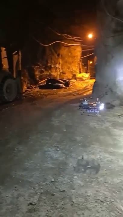
Tunnels, stopes and shafts too risky to enter. Map areas that are unsafe for people.
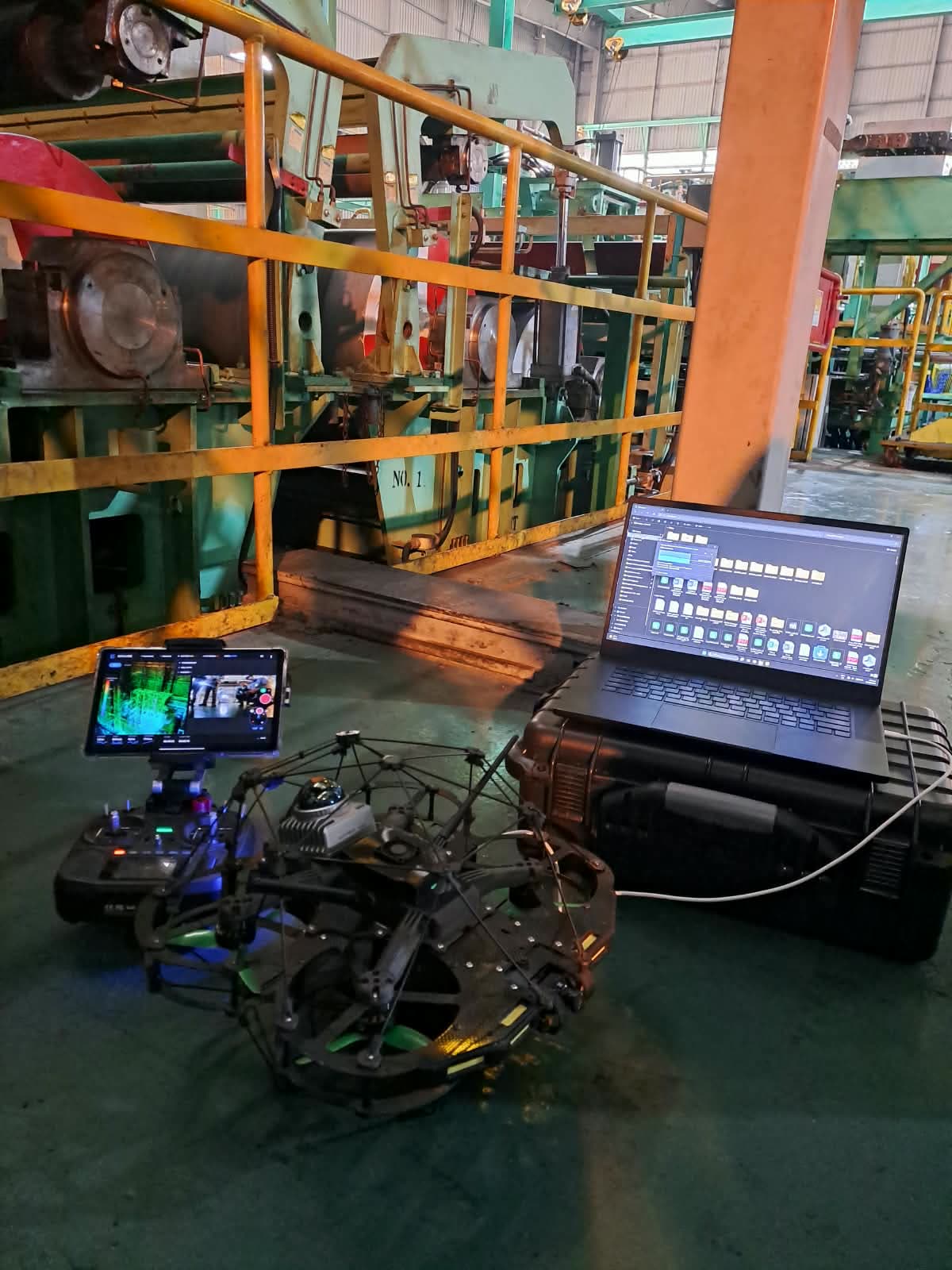
Boilers, tanks, stacks and large pipes, inspected without scaffolding or long shutdowns.
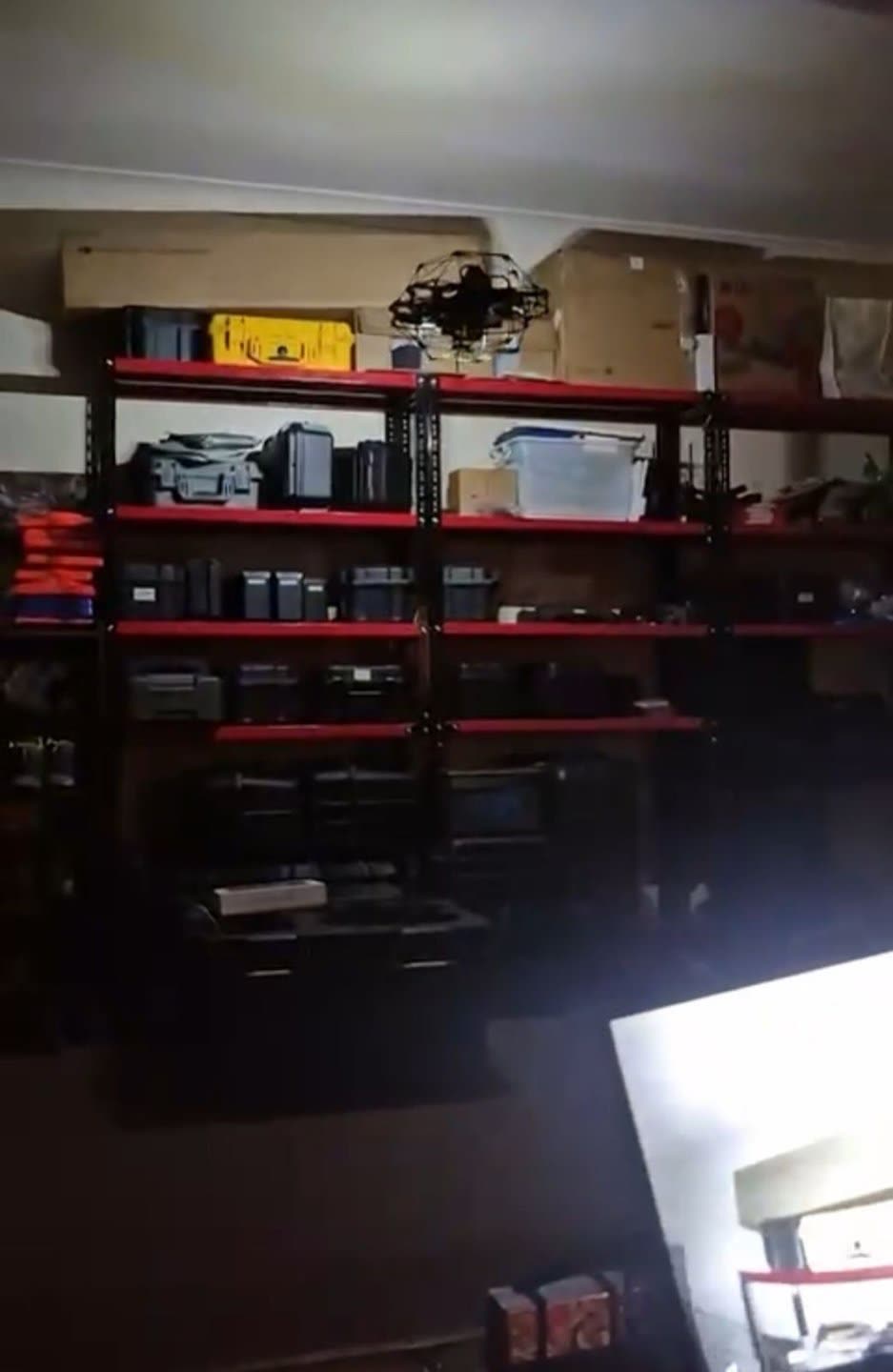
Fly between racks and measure stockpile volume under a roof, where GPS drones cannot fly.
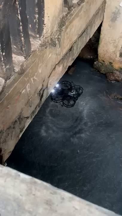
Narrow channels over water, bridges and public tunnels, mapped end to end.
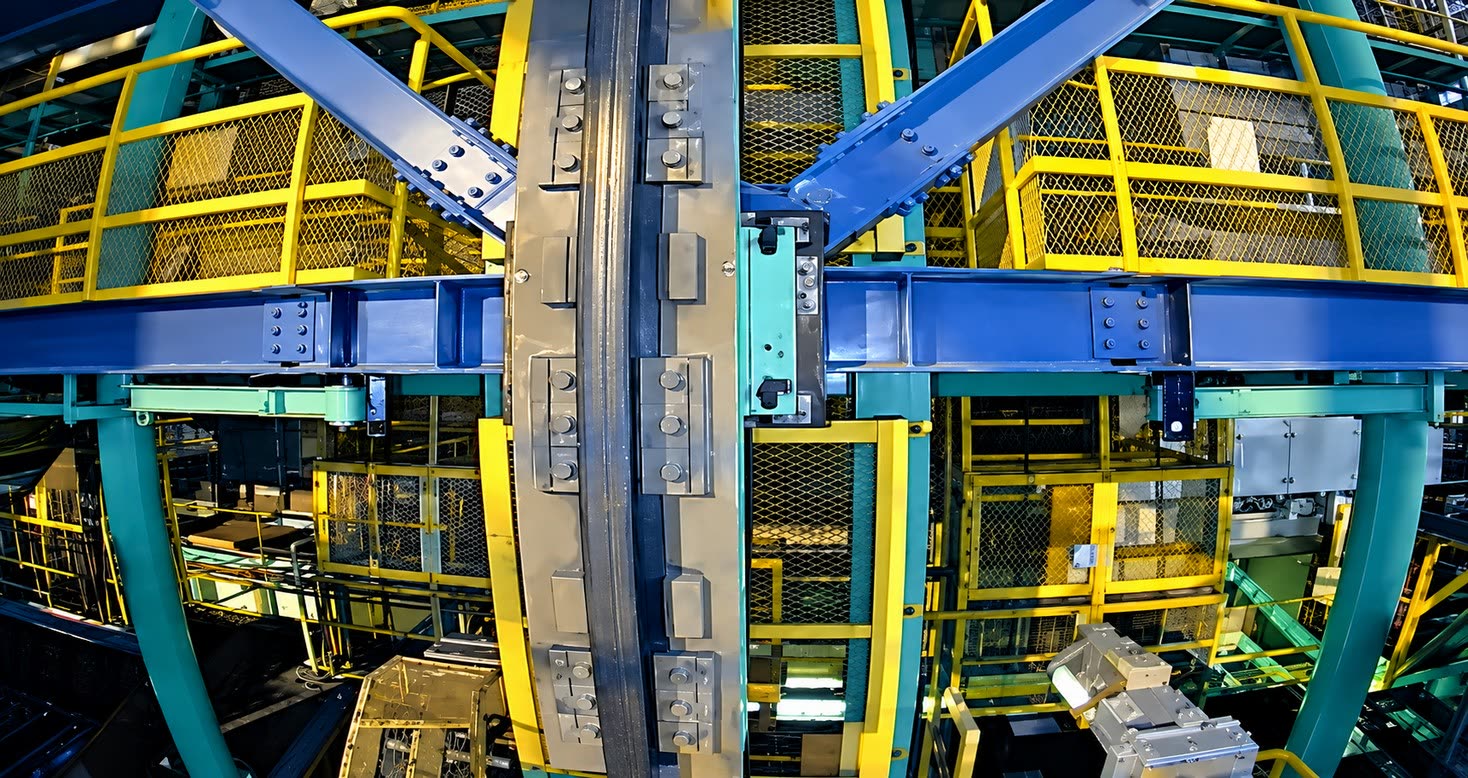
Roofs, steel frames and machine rooms. Check bolts, joints and corrosion up close.
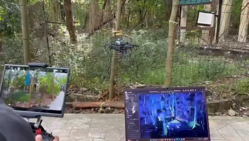
Weak GPS beneath trees is no problem. Stable navigation outdoors as well as in.
Workflow
The operator flies the drone into the space from outside. LiDAR keeps it steady without GPS.
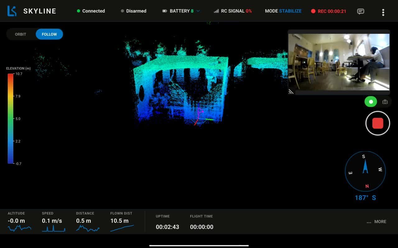
Video, the growing 3D map, battery, flight mode and telemetry on one tablet screen. Designed for field crews, not programmers.
Open the point cloud on a PC to measure distance, volume and structural change over time.
Output
Field validation
On a 20 m industrial rail structure, Skyline captured LiDAR and high-resolution camera data in one mission. We then compared the results with other inspection methods.
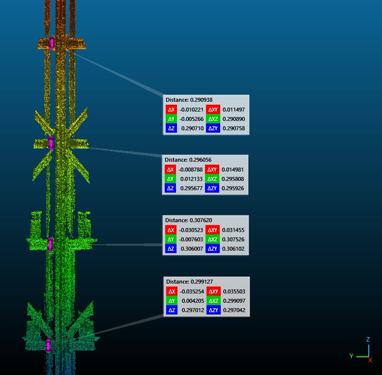 LiDAR point cloud · Rail looper entry section
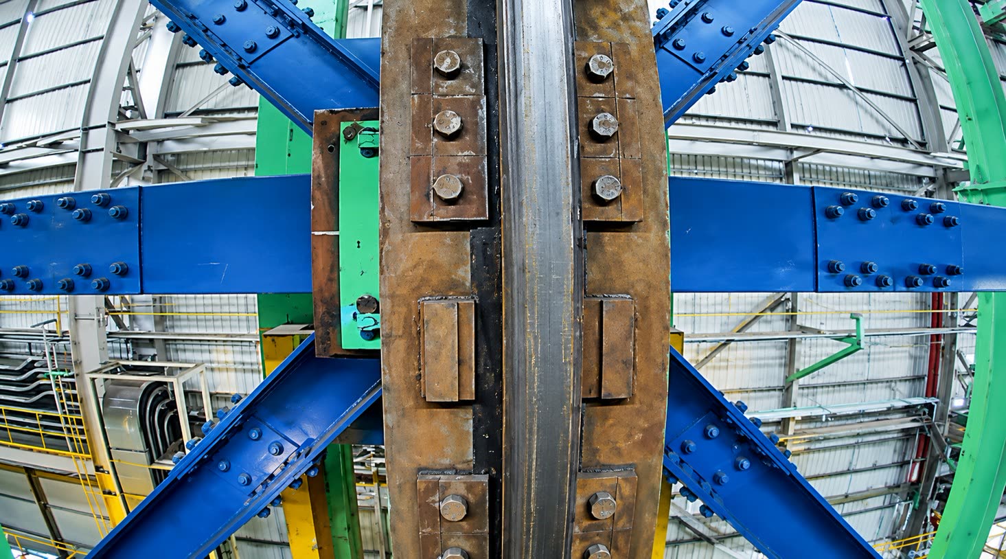
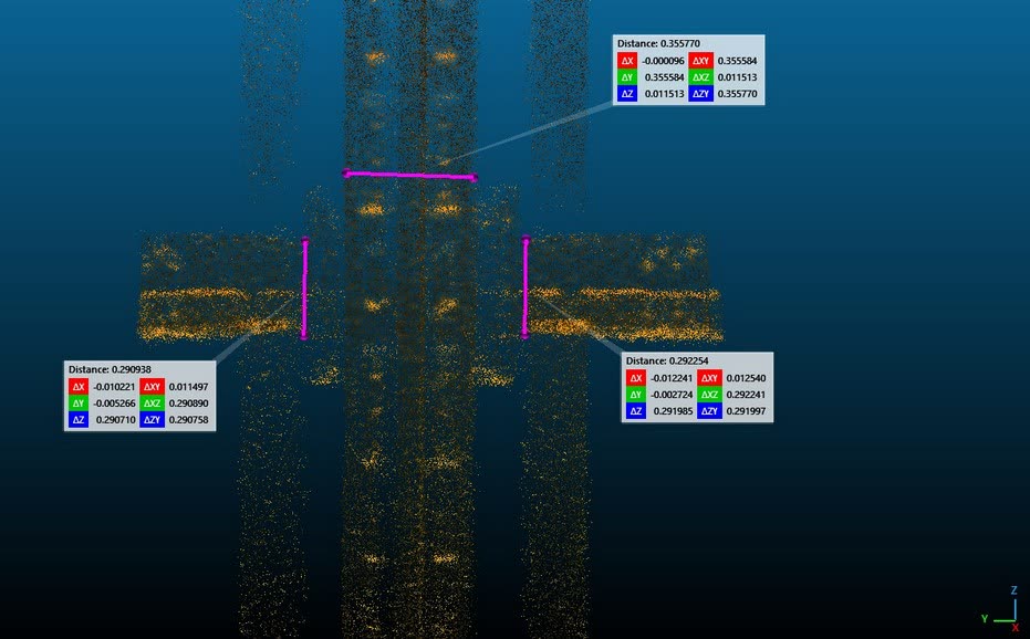
For absolute accuracy we recommend validating results against the structure's engineering drawings.
In the field
Mine tunnels, steel mills, open frameworks and dark plant rooms. Real flights, unedited.
Specifications
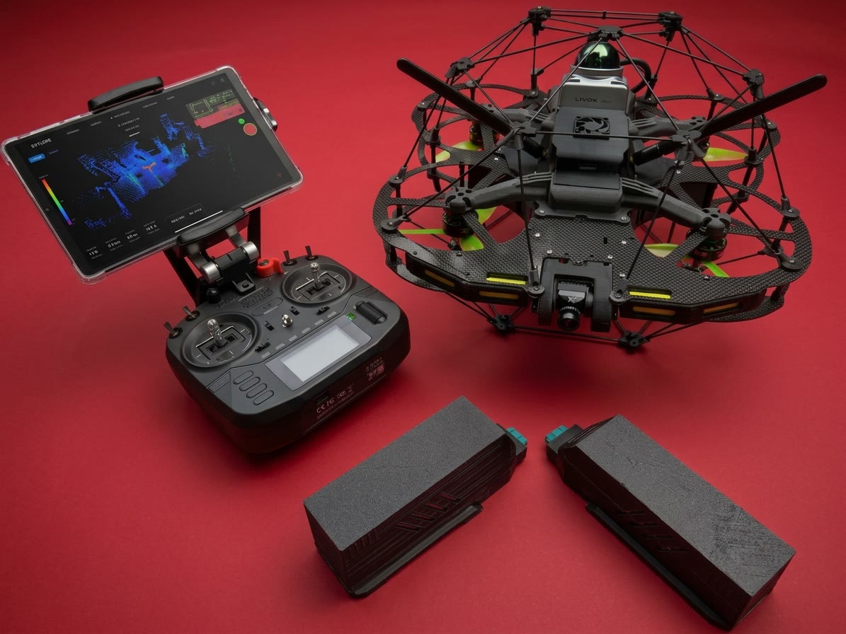
In the kit: drone, remote controller and ground-control screen.
Why Skyline
Navigation and the ground-control app are developed in-house, not rebranded. We can tailor inspection modes and report formats for your site.
Repairs, spare parts and software changes happen in Indonesia, in days rather than weeks.
A domestically built product, ready for procurement that requires local components.
Second place at the KIDN 2025 innovation competition.
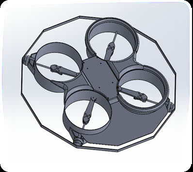
First prototype with basic sensors.
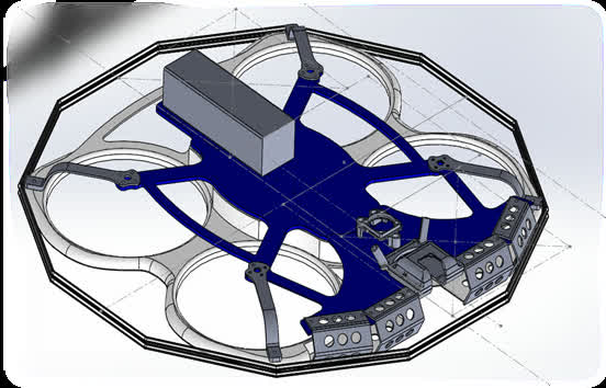
Optical flow and range finder for GPS-denied areas.
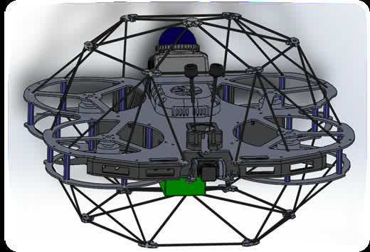
360° LiDAR navigation and live 3D mapping.
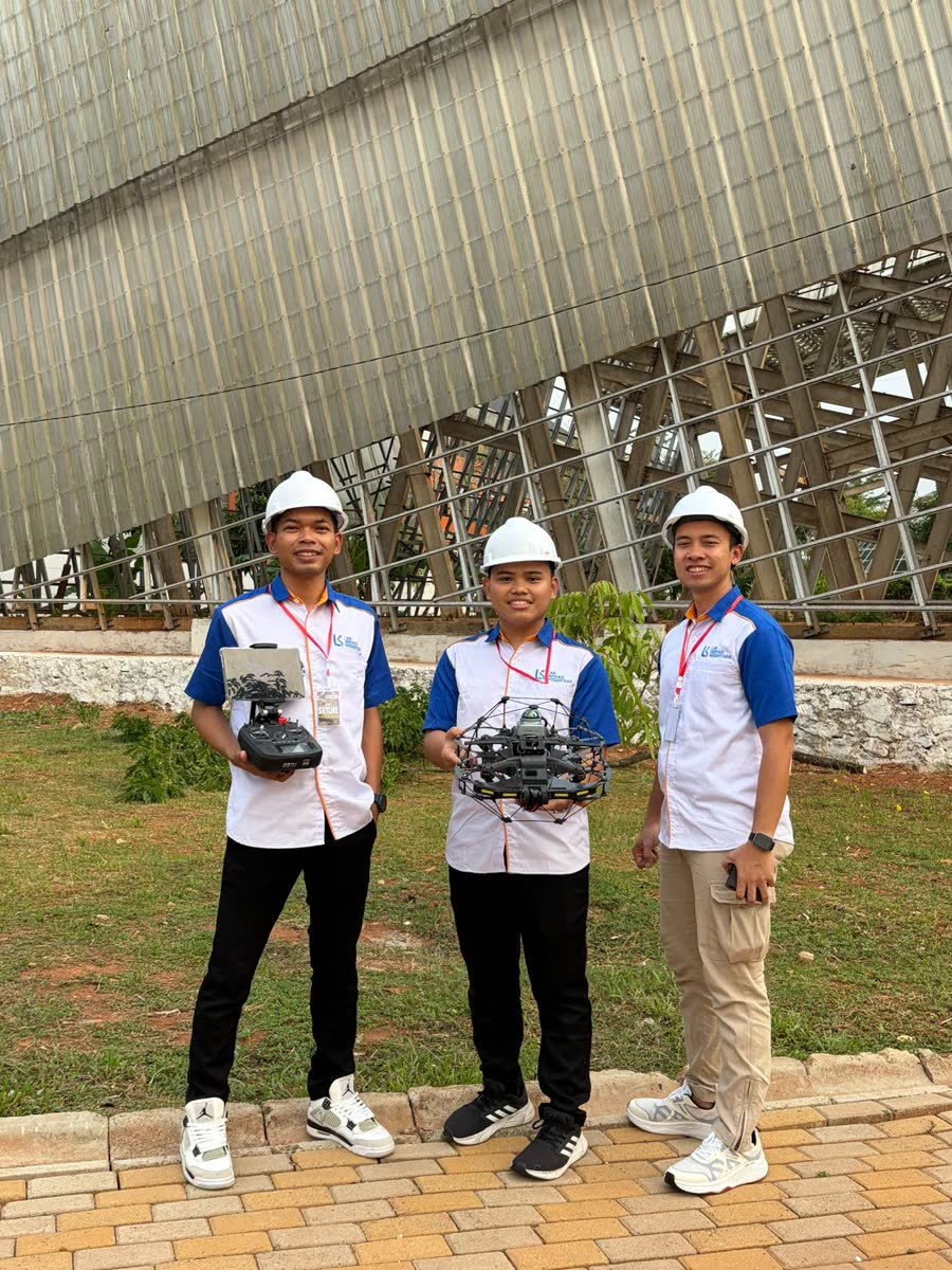

A Jakarta-based engineering team spanning mechanical, software and electrical design. We have been building GPS-free inspection drones since 2023, and testing them in mine tunnels, abandoned buildings, culverts and industrial plants.
FAQ
A 360° LiDAR and an IMU feed a SLAM algorithm running on an onboard NVIDIA Jetson Orin. The Jetson Orin sends its position estimate to the flight controller, which fuses it with its own IMU data. No GPS is needed. The LiDAR measures distance to within 2 cm, so the drone holds a steady position indoors or underground.
About 8 minutes per battery. That covers one spot inspection, such as one boiler room or one tunnel segment. Longer endurance is our current development priority.
The ground-control app is designed for field operators, not programmers. Video, the live 3D map, battery and flight mode are all on one tablet screen.
4K inspection video and a 3D point cloud from the same flight. The point cloud opens on a PC, for example in CloudCompare, to measure distance, volume and structural change.
The carbon-fibre cage takes the contact. The drone can touch walls, pipes or racks without falling and keep flying.
In Indonesia. Repairs, spare parts and software customisation are handled locally, typically in days rather than weeks.
Yes. We bring a unit to your mine, warehouse or plant and fly it live with your team. Use the form below or message us on WhatsApp.
Book a demo
We bring a unit to your mine, warehouse or plant and fly it live with your team.